
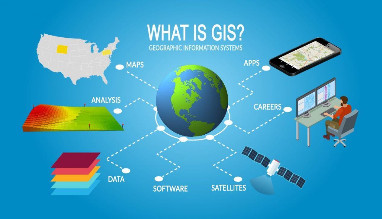
GEOGRAPHICAL INFORMATION SYSTEM (GIS) emphasizes the utilization of computer software, databases, and survey technology via hands-on exercises in field data collection, input, conversion, analysis, map output and multimedia presentation. Students are exposed with the knowledge and skills gained in these studies can be applied to work in various industrial sectors, including surveying, mapping, local and regional government, forestry, agriculture, town planning, military, health, business, education and the environment.
- Teacher: NORINA BINTI OMAR OMAR
- Enrolled students: 39
- Teacher: NAZATUL FARIZA BT BAKRI Bakri
- Teacher: NORINA BINTI OMAR OMAR
- Enrolled students: 62
- Teacher: NAZATUL FARIZA BT BAKRI Bakri
- Teacher: MOHD ZAHIRUDIN B. MOHAMMED NAAIM NA'AIM
- Enrolled students: 49
- Teacher: MOHD ZAHIRUDIN B. MOHAMMED NAAIM NA'AIM
- Enrolled students: 41
- Teacher: MOHD ZAHIRUDIN B. MOHAMMED NAAIM NA'AIM
- Enrolled students: 12

BASIC SURVEYING provides basic knowledge in surveying, map and plan, datum determination and the usage of survey equipment. It also provides early exposure to students about land survey professional bodies. The course emphasizes on conducting a closed traverse based on standard procedure during practical fieldwork. Students are also exposed with the knowledge of booking for a closed traverse.
- Teacher: NOORIZAWATY BINTI YUSUFF .
- Enrolled students: 13