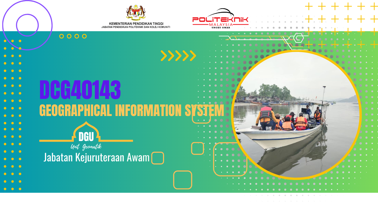
GEOGRAPHICAL INFORMATION SYSTEM (GIS) emphasizes the utilization of
computer software, databases, and survey technology via hands-on exercises in field
data collection, input, conversion, analysis, map output and multimedia presentation.
Students are exposed with the knowledge and skills gained in these studies can be
applied to work in various industrial sectors, including surveying, mapping, local and
regional government, forestry, agriculture, town planning, military, health, business,
education and the environment.
- Teacher: NORINA BINTI OMAR OMAR
- Enrolled students: 3